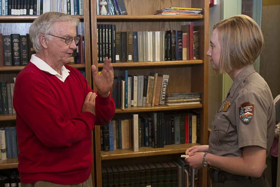
Gary and Beth Parnicza, Park Historian, Fredricksburg and Spotsylvania National Military Park in her office at the Chancellorsville Battlefield Visitors Center.
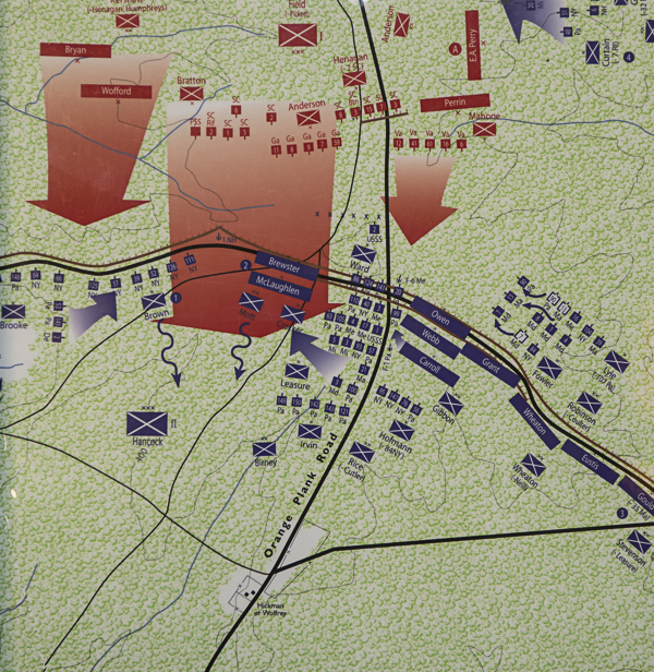
Wilderness Regimental Battle Map, May 6, 1864, at 3:30 pm, the 143rd PA position, provided by Beth
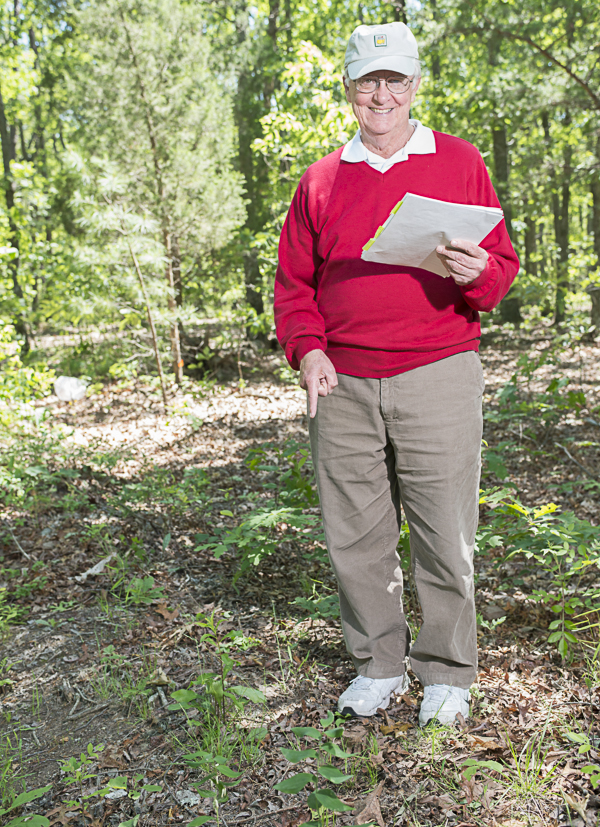
Standing on the traces of the earthworks along the Brock Road (1)

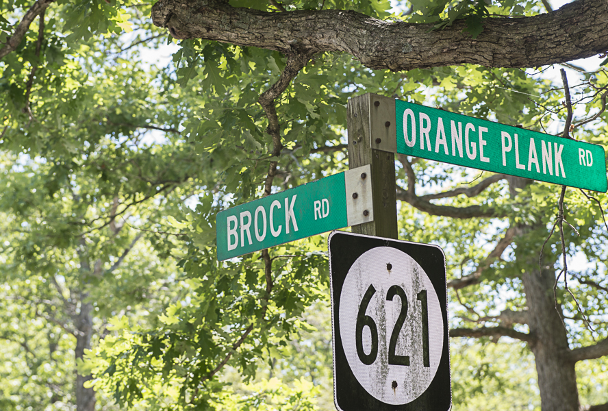
Brock Road and Orange Plank Road intersection "the Crossroads"

Standing on the traces of the earthworks along the Brock Road (2)

More at the Crossroads (1)
More at the Crossroads (3)
More at the Crossroads (2)
Longshot of earthworks/trenches
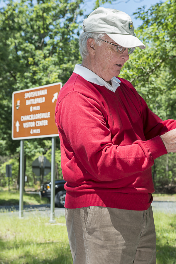
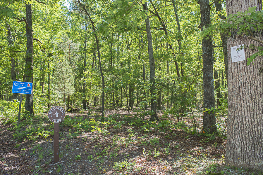
Current-day sign at the crossroads
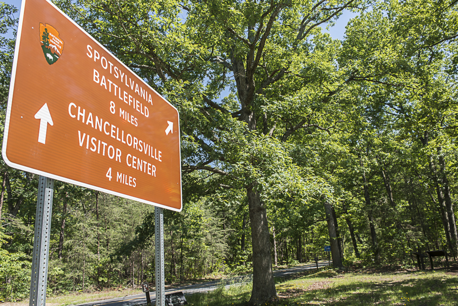
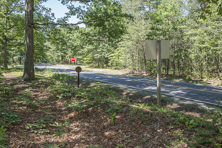
Current-day directional sign to VC
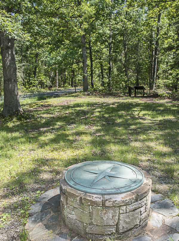
Compass marker has mileage to destinations i.e. Getysburg, Baltimore, etc (seen throughout battlefield)

Federal Trenches Hancock's Corp wayside marker
Actual trenches - leaf covered
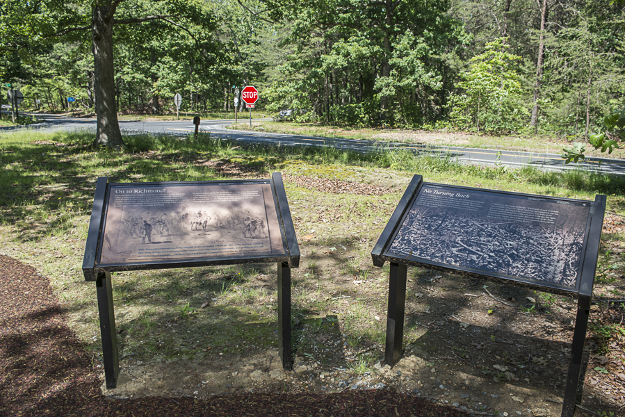
Crossroads Wayside Marker
Crossroads marker on Plank Road (trees were chopped down to make the "plank" road. (1)

Crossroads marker on Plank Road (trees were chopped down to make the "plank" road. (2)
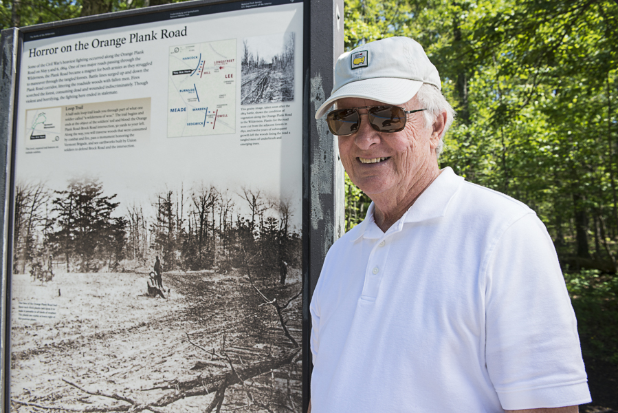
Crossroads marker on Plank Road (trees were chopped down to make the "plank" road. (3)
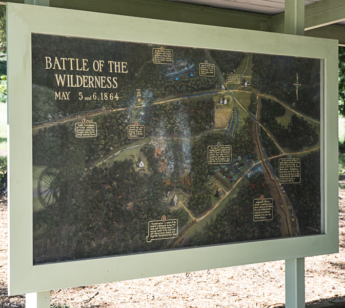
Wilderness Battlefield Exhibit Shelter
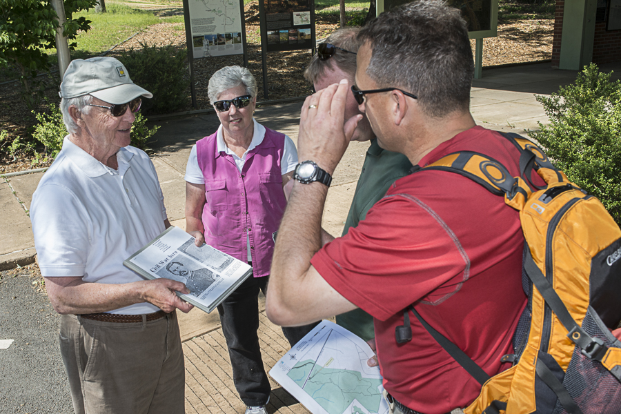
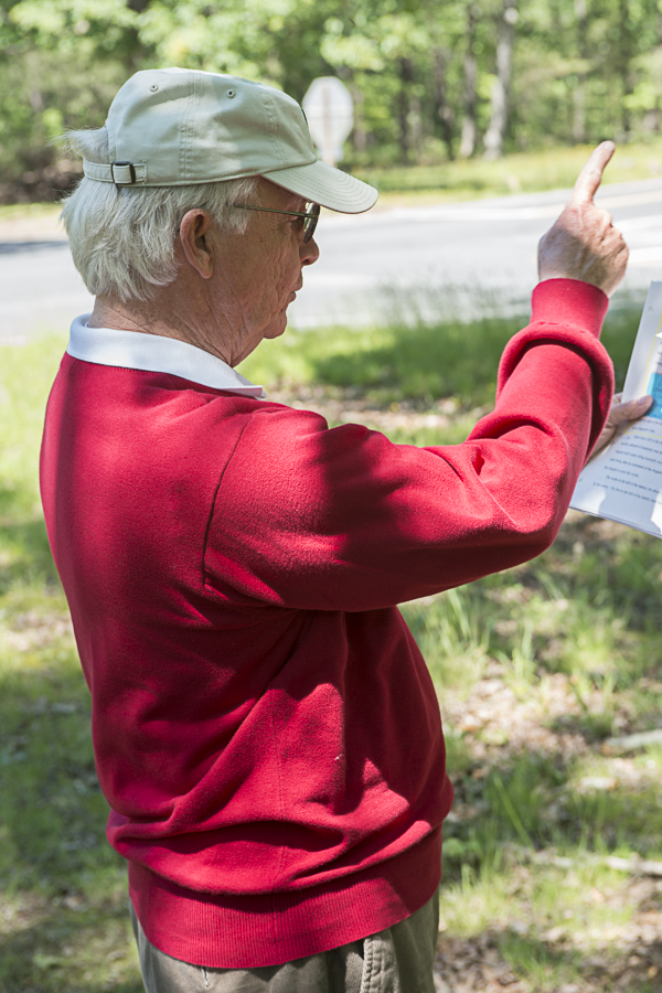
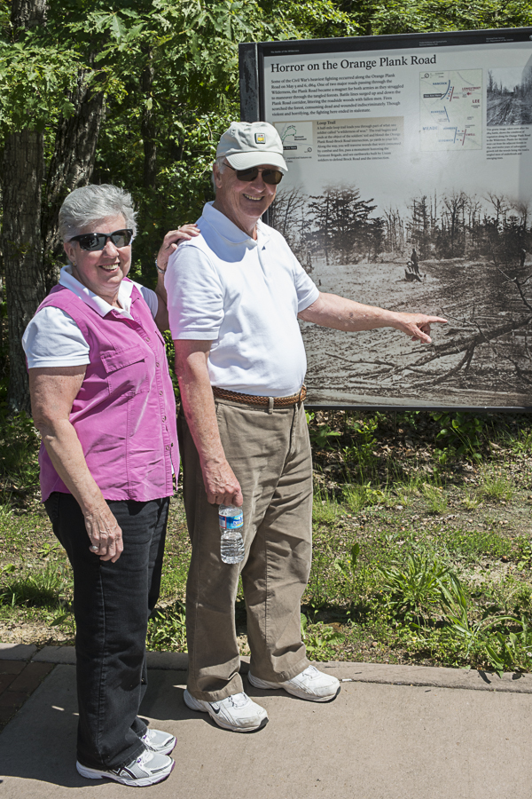
Tourist, Lt. Col. Bill Moryto, McGuire-Dix, Lakehurst, NJ, looking for relative who was here. We helped him find location. (1)
Tourist, Lt. Col. Bill Moryto, McGuire-Dix, Lakehurst, NJ, looking for relative who was here. We helped him find location. (2)

Wayside marker, Wilderness Battlefield Exhibit Shelter (1)
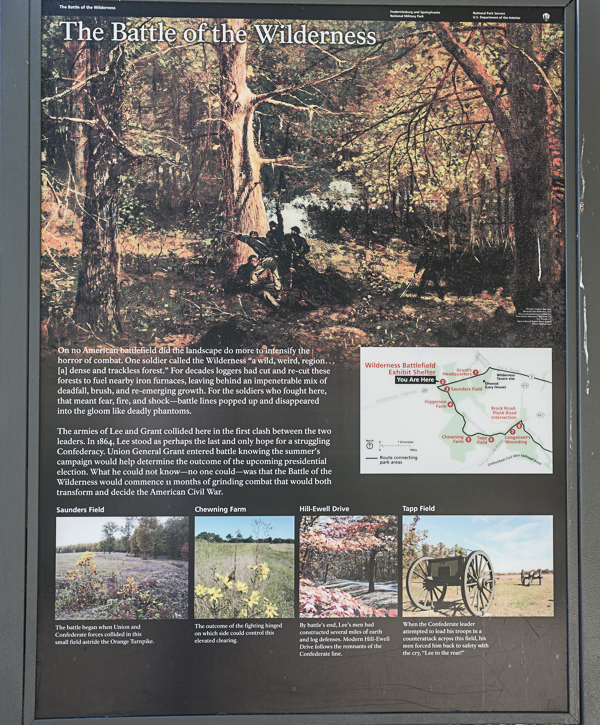
Wayside marker, Wilderness Battlefield Exhibit Shelter (2)
All photos this page credit: Bill Dowling DowlingPhoto.com